Donation campaign – 30 Years… P’tit Train Goes a Long Way →
Donate Now
Q
P'tit train du nord
  • Explore
  • Activities
  • Info
  • Us
  • Know yourself
  • FR


P'tit train du nord
  • Home
  • Interactive Map
  • FAQ
  • Contact Us

Navigation

  • Explore
    • Mont-Laurier to La Macaza
    • Labelle to Val-Morin
    • Sainte-adèle to Saint-Jérôme
    • Mirabel to Bois-des-Filion
    • Discovery pass
  • Activities
    • Ride
    • Walk and Run
    • Ski
    • Snowmobile
  • Infos
    • Shop
    • Outdoor Shops
    • Code of ethics
    • Eco-friendly
    • FAQ
    • Communiques
    • Blog
    • Events
    • Parking
    • Discovery pass
  • Us
    • About Us
    • The Team
    • Contact Us
    • Patrol
    • Press
    • Documentation
  • Know yourself
  • FR

From Mont-Laurier to La Macaza

The peaceful woodlands

X

Explore

  • Interactive Map
  • Mont-Laurier to La Macaza
  • Labelle to Val-Morin
  • Sainte-adèle to Saint-Jérôme
  • Mirabel to Bois-des-Filion
  • Interactive Map
  • Prepare Your Trip

ACTIVITIES

  • Walk and Run
  • Ride
  • Ski
  • Snowmobile

INFOS

  • Make a donation
  • Welcome center-online Shop
  • FAQ
  • Blog
  • Communiques
  • Events
  • Parking, service stations etc.
  • Rental/Pro-shop

Us

  • About Us
  • The Team
  • Patrol
  • Documentation
  • Press
  • Contact Us

You

  • Know yourself
  • Français
  • Follow
  • Follow
  • Follow

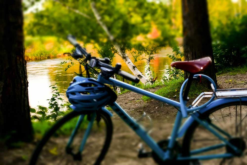
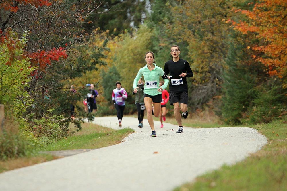
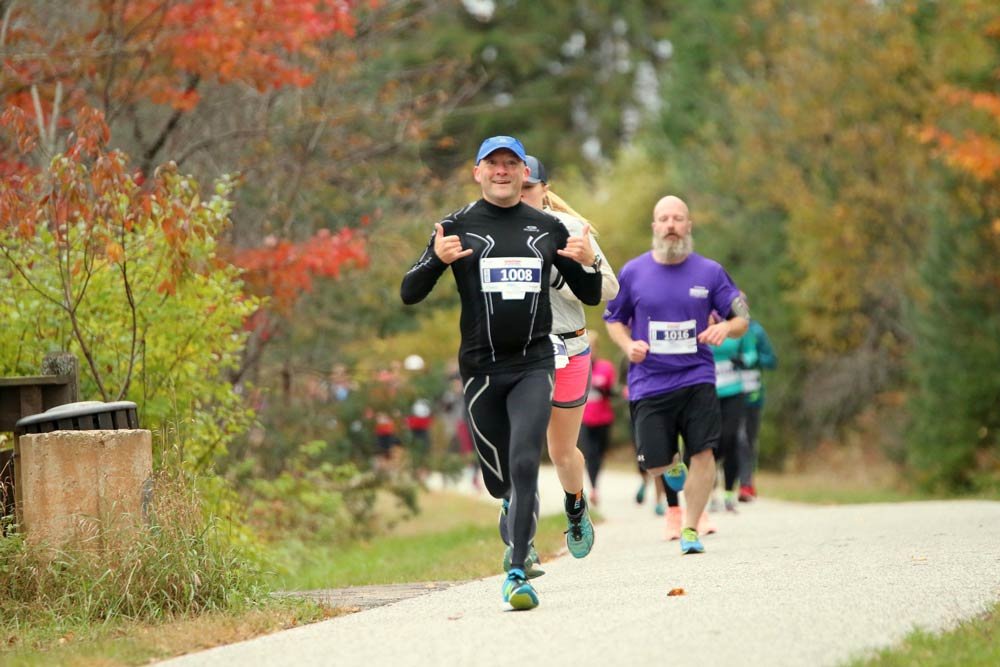
94 kilometers | 8 legs

Interactive map
Interactive map
Mont-Laurier | KM 201
Lac-des-Écorces (Val-Barrette) | KM 188
Lac-des-Écorces (Beaux-Rivages) | KM 174
Lac-Saguay | KM 163
Nominingue | KM 146
Rivière-Rouge (Marchand) | KM 134
Rivière-Rouge (L'annonciation) | KM 129
La Macaza | KM 117
La Conception to Val-Morin

Mont-Laurier

46.5523631 N, -75.497393 O, Altitude: 229 meters

At the start or at the conclusion of your adventure:
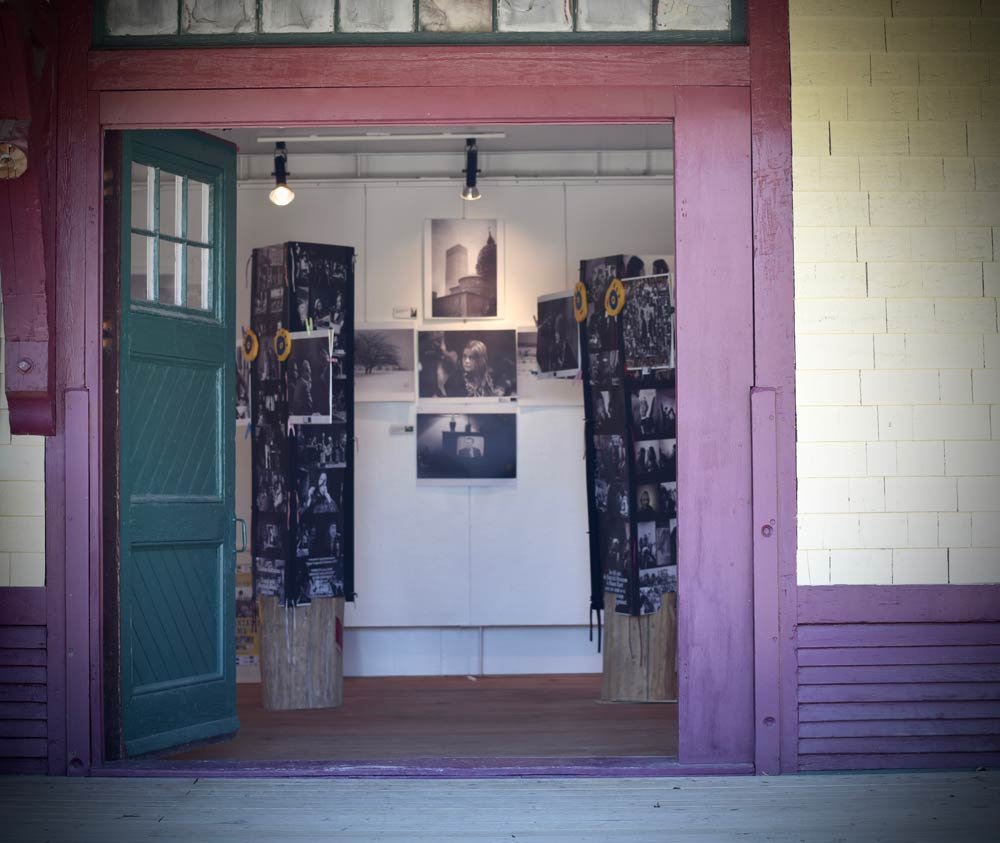
It is the starting point of the bikes brought in by the P’tit train du Nord buses at the heritage train station of Mont-Laurier.

Read more ...

Discover the handicraft shops: microbrewery, honey house, and Mont-Laurier cheese plant.

A picture in front of the traditional “KM 200” of the Mont-Laurier train station is a must either departing or arriving. Do not resist the Café De La Gare, a voluntary contributions restaurant with a complete menu. A combination of fine cuisine and cheerful encounters with the local community.

Travel back in time by consulting up to 47 interpretation panels on the history of the North sector.
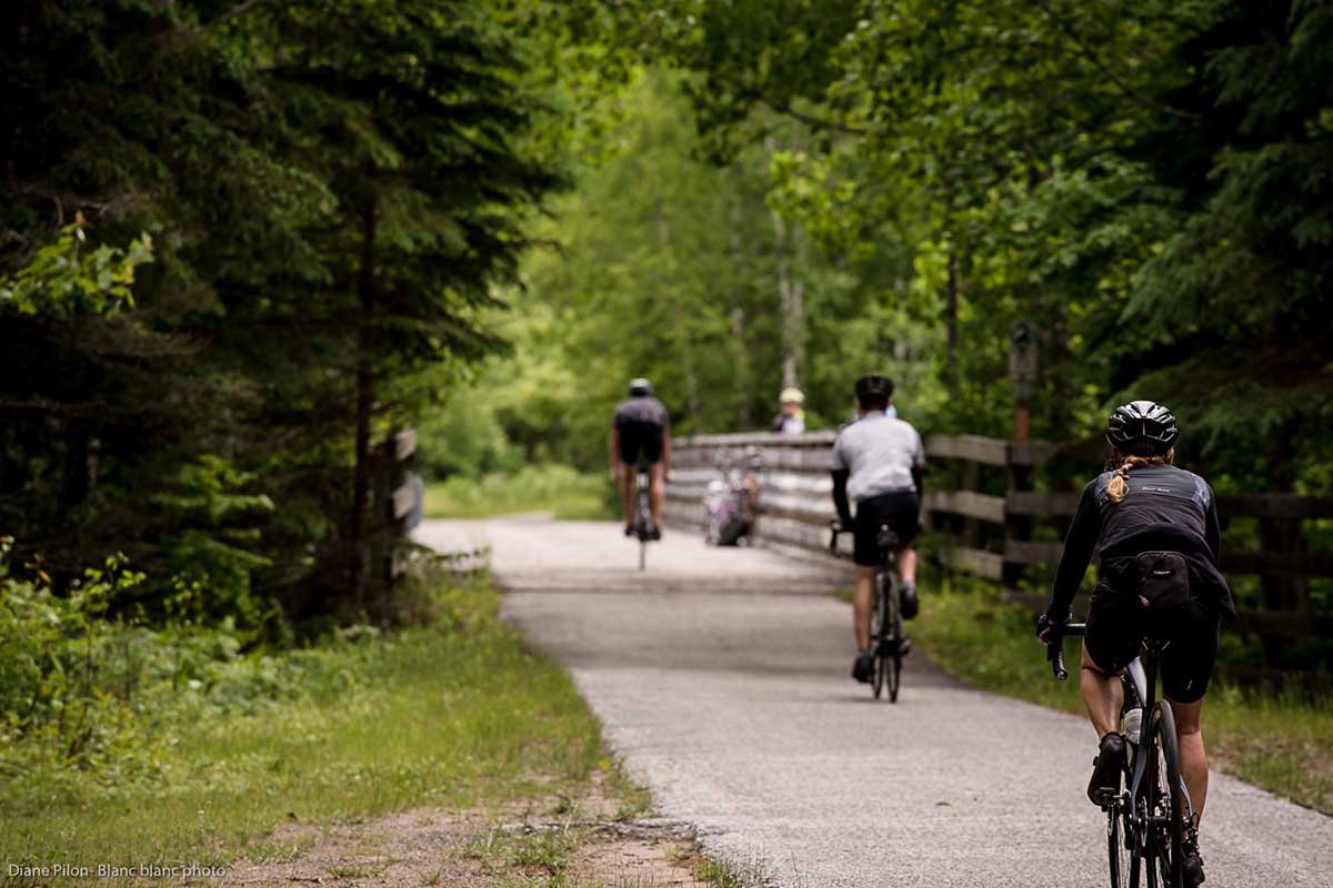
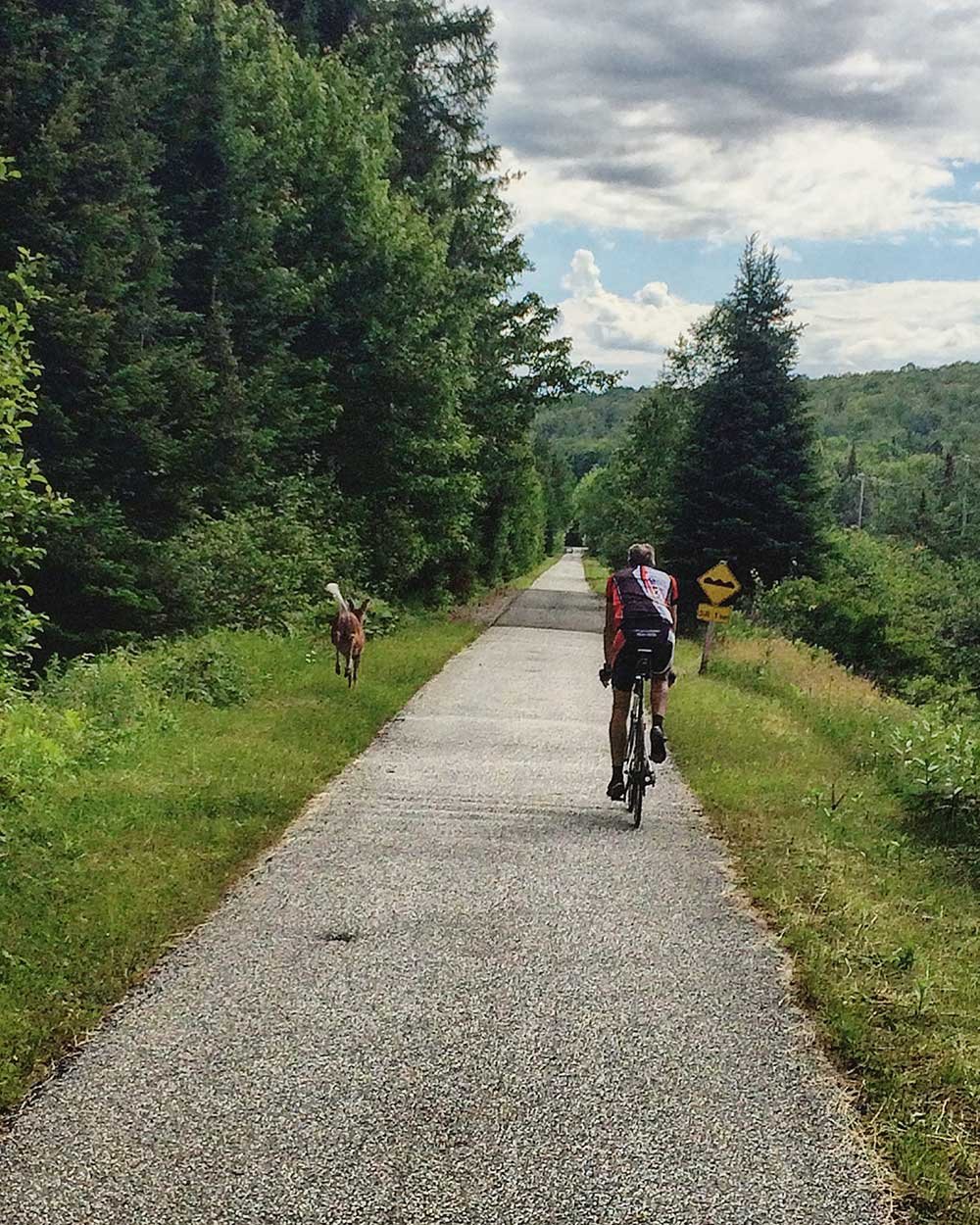
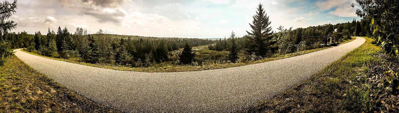
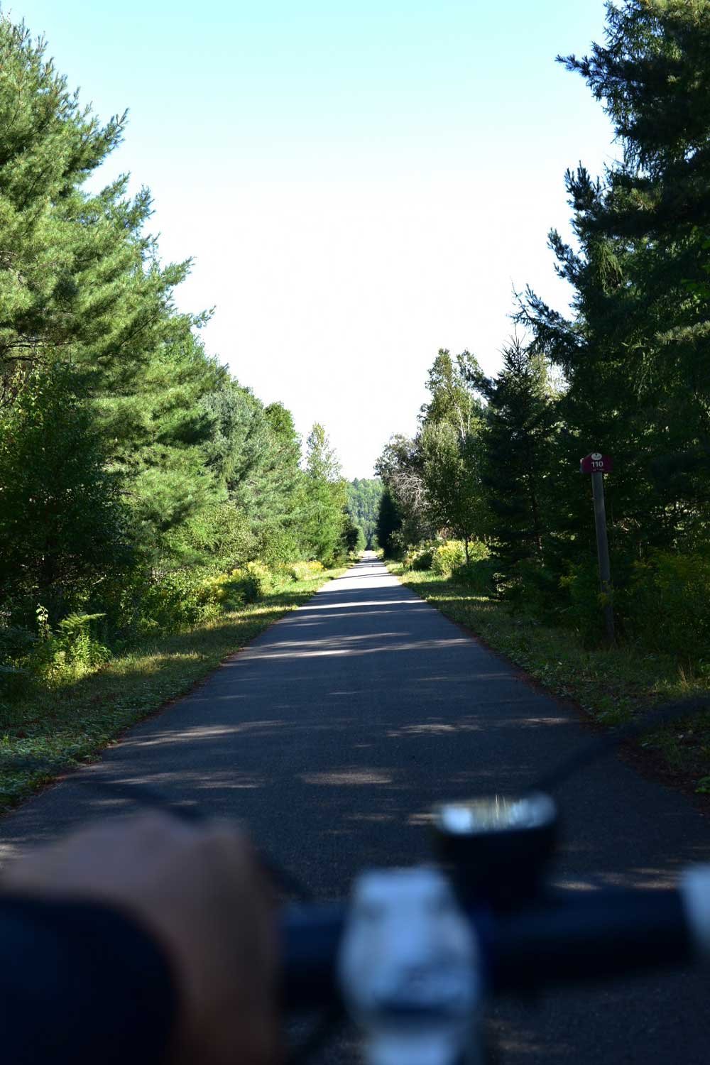
The sector ranging from Mont-Laurier to La Macaza is asphalted over 88 km.

To learn more about accommodations, regional flavors, activities, and history:
Upper Laurentians →

MRC Antoine-Labelle

LAC-DES-ÉCORCES (val-barrette) KM 188

46.5565 N, -75.364838 O, Altitude: 234 meters

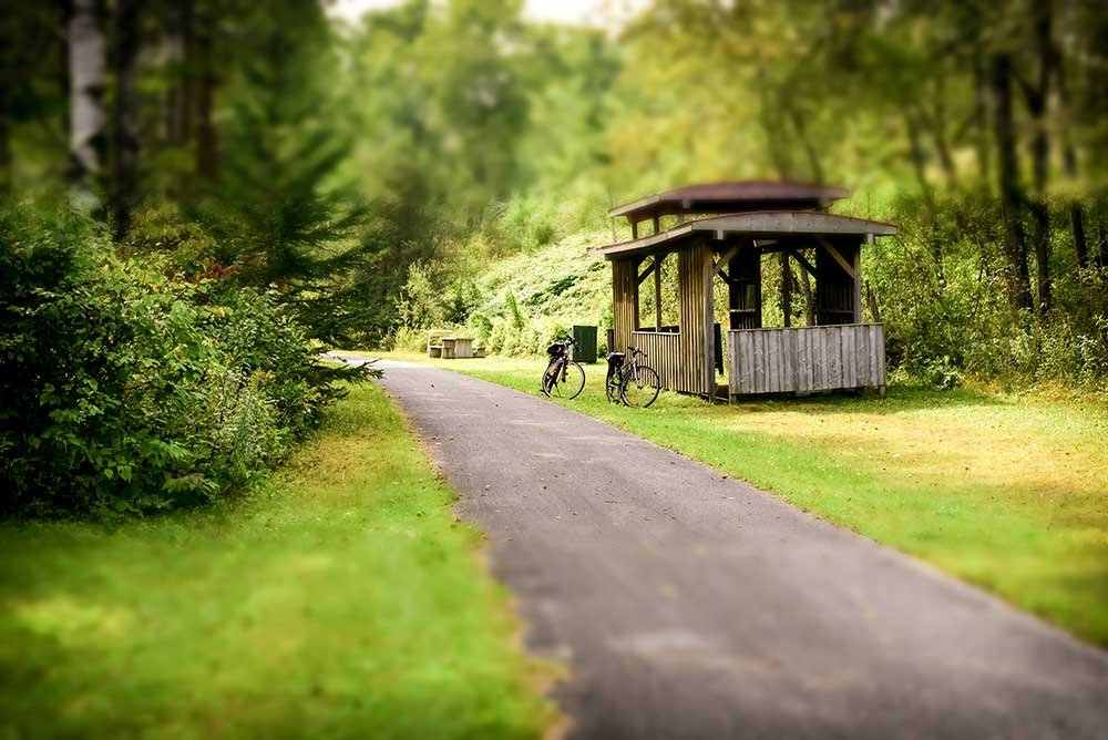
A quick bite to eat? Sector Lac Barrette (km187), convenience store and fast food.

LAC-DES-ÉCORCES (Beaux-rivage) KM 174

46.5114857 N, -75.3724661 O, Altitude: 240 meters

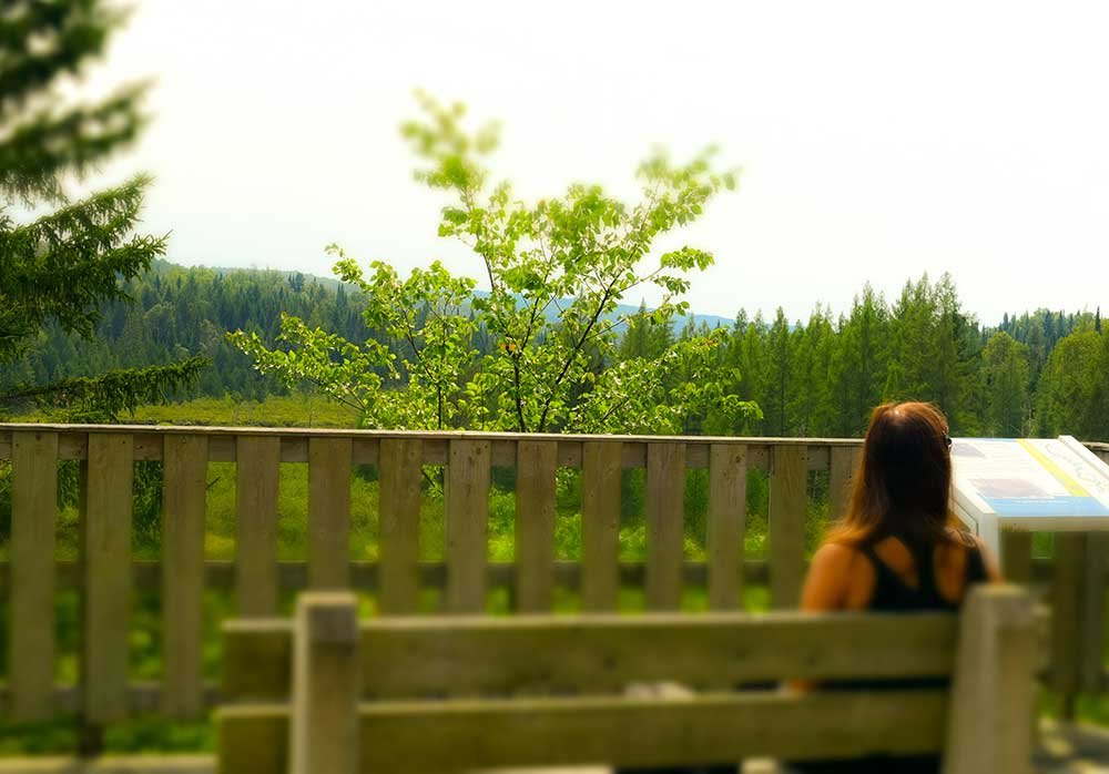
Try a stop at the belvedere (km174). You will find the “Fer à cheval” (horseshoe) where nature thrives over magnificent peatland.

LAC-saguay KM 163

46.496502 N, -75.1426952 O, Altitude: 323 meters

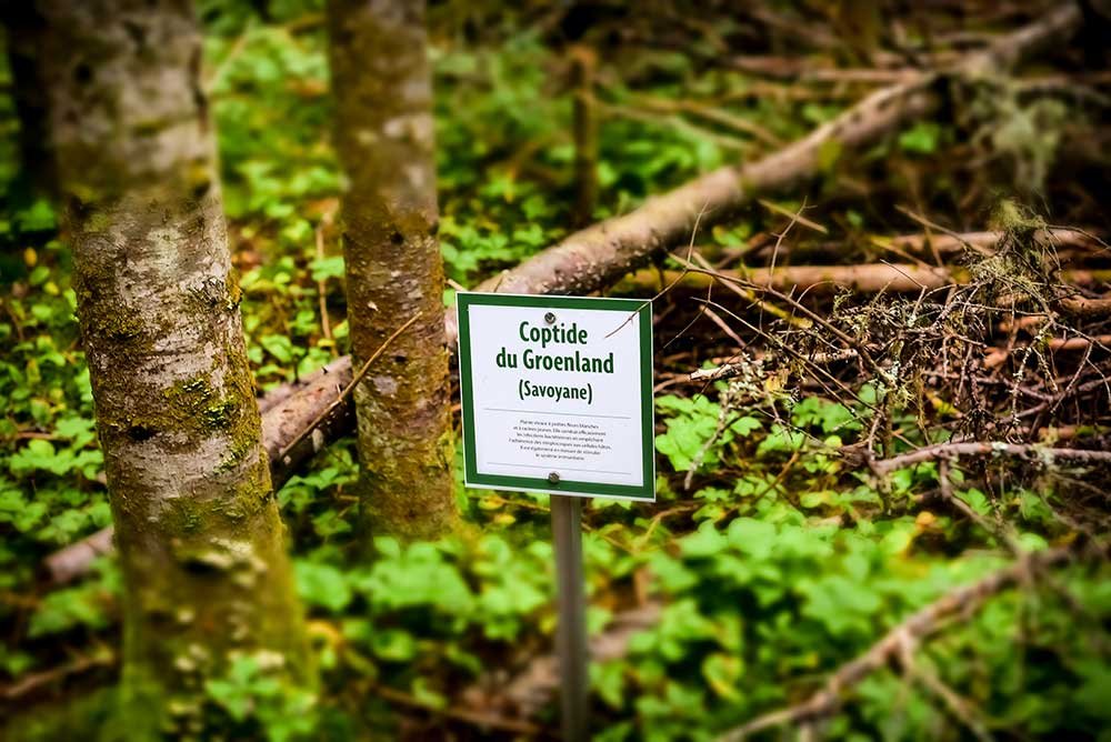
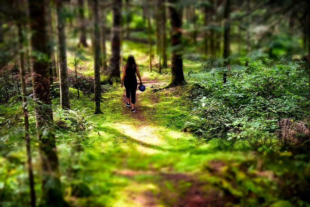
Take the time to unwind after several kilometers of biking and enjoy the Boisé Joseph BB-Gauthier. The starting point of the path is at km 164,6 off of the P’tit train du Nord trail.

Read more ...

It’ll take you through a mixed forest and a trout river. It leads to a belvedere from where the Saguay river can be seen.

Interpretation panels tell all about the flora. Rustic camping areas are present as well as easy hiking trails of 1 or 2 km.

For more info:
Balise Québec →

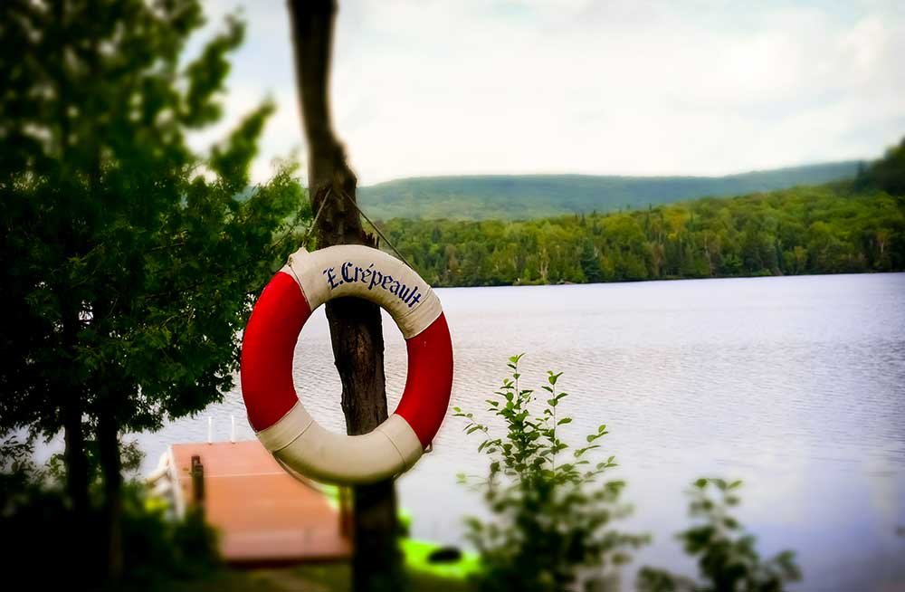
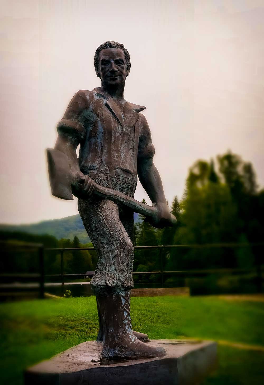
Visit Lac Saguay and nearby town, a motel and inn on the lake, restaurant, public beach and the landmark sculpture of the “Grand six pieds (“Six Foot Tall”) at the rest area.
Let yourself be enthralled by the Fantastic Tales Circuit.

More info:
Lac Saguay’s website →
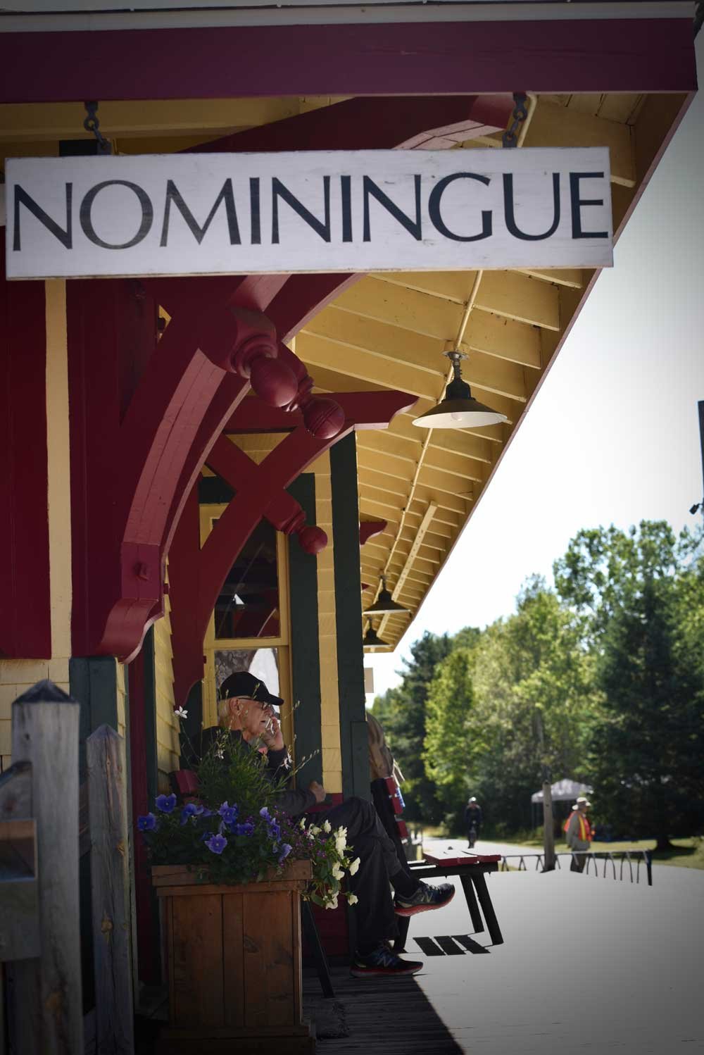
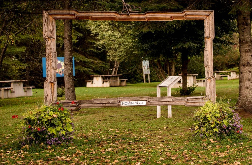
MRC Antoine-Labelle

Nominingue KM 146

46.3938122 N, -75.0295392 O, Altitude: 252 meters

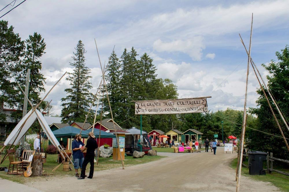
Make sure to include the town of Nominingue (“red land” or “land where we go back to” in the Algonquin language) in your adventure. You will be impressed by the place’s dynamism.

Read more ...

See the craftsmen of the old station, the town’s public market open on Fridays and Saturdays, it’s festival of the “Grande Traite”, a meeting ground for Jacks of all trades and storytellers that lasts until the end of July.

Nominingue is also known for its great natural features, its majestic lake, municipal beach and campgrounds in natural settings. Well located lodges and hostels are renowned for their culinary treats and welcoming staff. Sunsets over the grand Nominingue Lake are a sight to behold.
Treat yourself to the indigenous and even comestible flora alongside the interpretation trail.

For even more inspiration for your adventure:
Nominingue’s website→
Upper Laurentians →

MRC Antoine-Labelle

Rivière-rouge (Marchand) KM 134

46.379625 N, -74.853432 O, Altitude: 245 meters

More info:
Upper Laurentians →

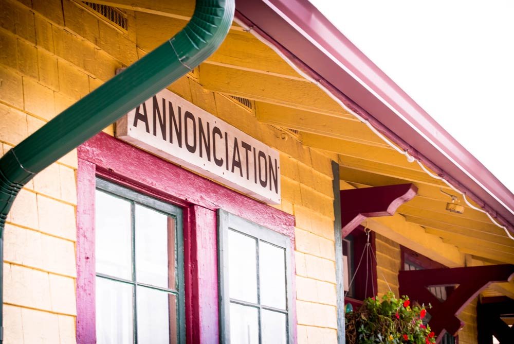
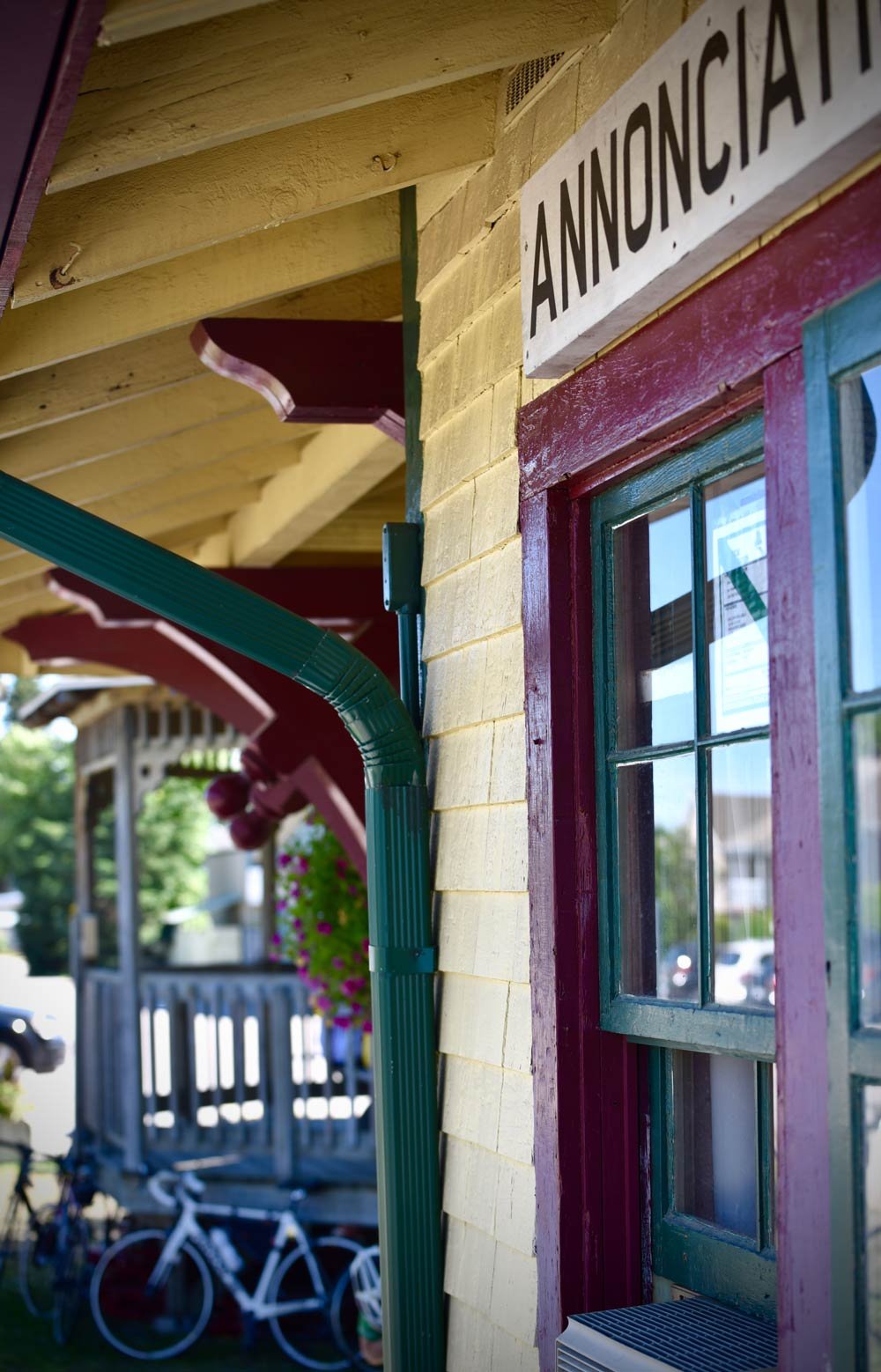
Rivière-rouge (L’annonciation) KM 129

46.409931 N, -74.870796 O, Altitude: 253 meters

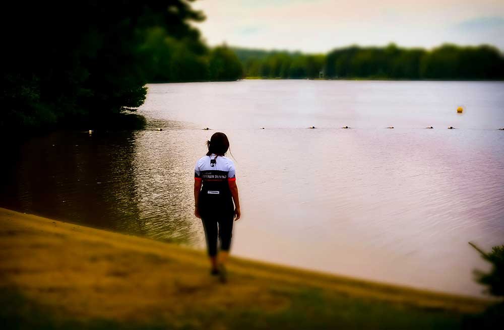
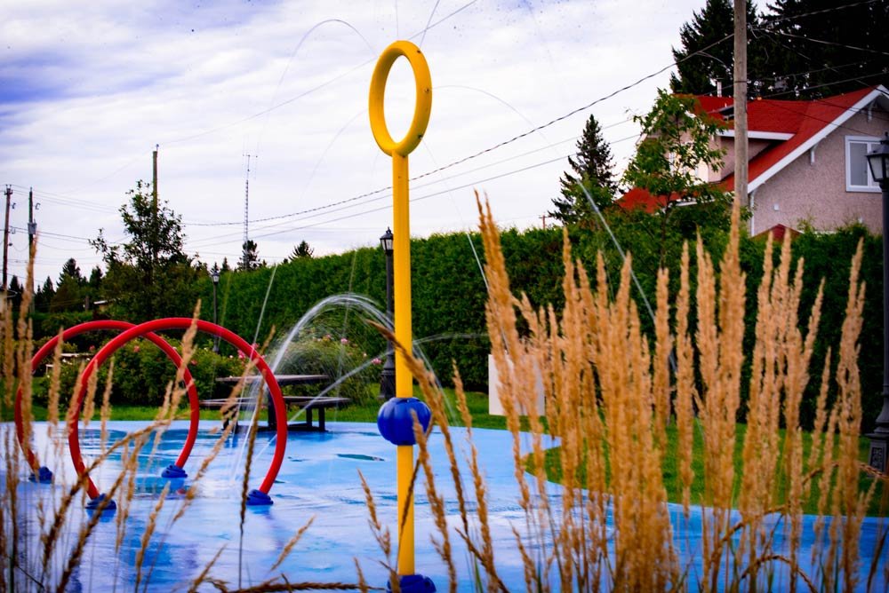
Slow down upon arriving at the L’Annonciation train station and visit this site built in 1903. It houses a tourist office with beautiful exhibitions. Kids can cool down in the adjacent water play area.

Read more ...

Explore the river and its sandy beaches. Numerous nautical activities are available for you to escape on the beautiful Rouge river.
Behold!

L’Oie-Zoo was set up in a marshland in the heart of town alongside the P’tit train du Nord linear park. Observation kiosks allow for a closer look at snow geese and Canada geese amongst others, who find refuge in this natural habitat.

More info:
Red hare road →

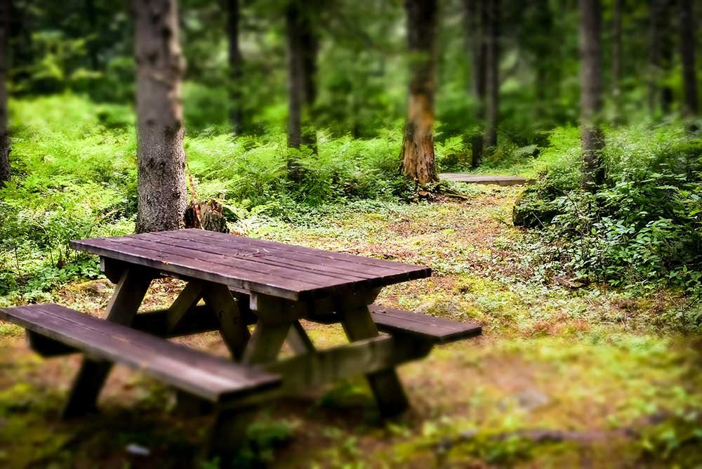
Pause overnight and take a well-deserved break from your itinerary in one of the many campgrounds situated along the river.

More info:
Upper Laurentians→

MRC Antoine-Labelle

La MACAZA KM 117

46.353890110252124 N, -74.77902444908825 O, Altitude: 251 mètres

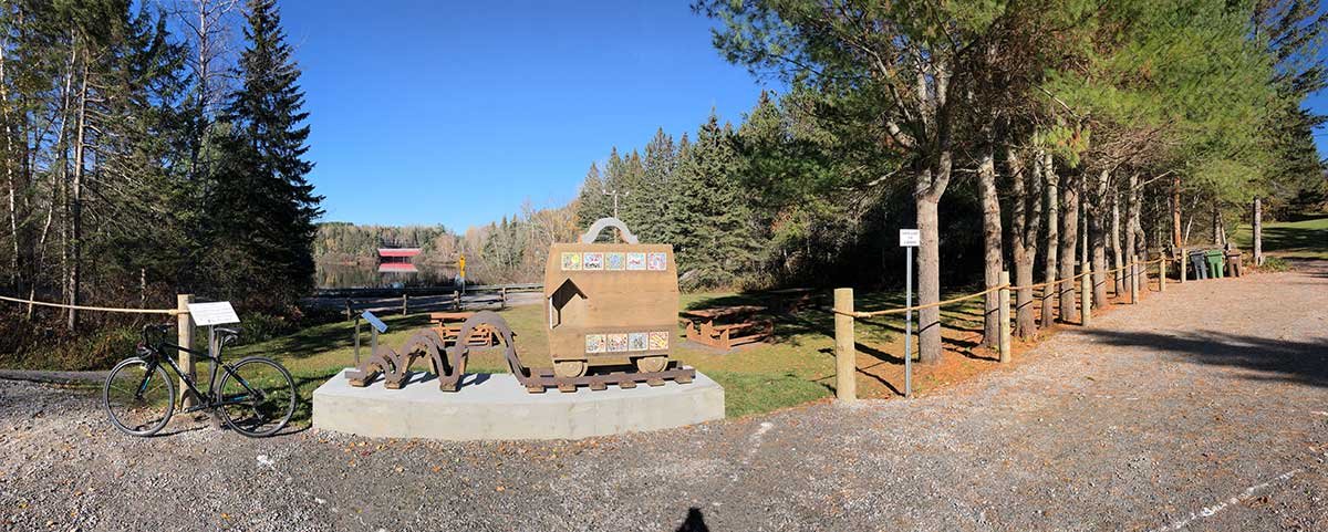
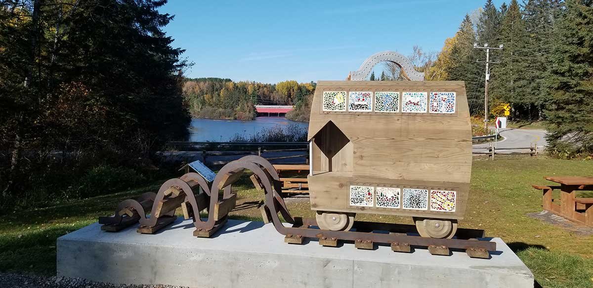
At km 117.5, pause at the bike stop. This mobile rest area is a renowned historical place of La Macaza. As part of the municipality’s colonization occurred with the arrival of immigrants who rode on the famous Train du Nord and got off at La Macaza Station.

At the time, the station was located on the site of the mobile rest area where we find the “Train de vie” sculpture which pays tribute to immigrants.

Read more...

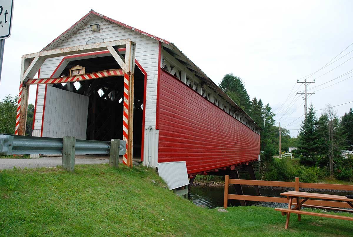
From this location, you will be able to admire the Municipality of La Macaza’s stunning covered bridge.

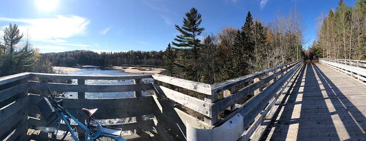
A few meters away, you will cross the Rouge River and its sand banks. An ideal place to relax during your bike ride.

https://www.munilamacaza.ca/tourisme

Follow-Us !

  • Follow
  • Follow
  • Follow
  • Follow
  • Follow

Subscribe !

to our newsletter

Yes !
Q
Close
Q
Close

Le p’tit train du nord

Non-profit organization (NPO)

Information, shop and administration – Prévost Station

1272 Rue de la Traverse, Prévost, QC J0R 1T0

450 745-0185
info@traindunord.com

Hello?

450 745-0185
info@traindunord.com

Privacy Policy →

French →

Route verte P'tit train du nord
© Le p’tit train du nord

Realisation: Tramweb

Explore

  • Home
  • Interactive Map
  • FAQ
  • Contact Us

X

MONT-LAURIER TO LA MACAZA

LABELLE TO VAL-MORIN

SAINTE-ADÈLE TO SAINT-JÉRÔME

MIRABEL TO BOIS-DES-FILION

Discovery Passport

Activities

  • Home
  • Interactive Map
  • FAQ
  • Contact Us

X



WALKING AND RUNNING



RIDING



SKI



SNOWMOBILE

INFOS

  • Home
  • Interactive Map
  • FAQ
  • Contact Us

X

participate

  • Make a donation
  • Shop
  • Home – Boutique P’tit Train du Nord
  • Eco-friendly

INFORM YOURSELF

  • FAQ
  • Communiques
  • Blog
  • Events

OTHER

  • Parkings
  • Code of ethics
  • Rental – Workshop service
  • Discovery pass

US

  • Home
  • Interactive Map
  • FAQ
  • Contact Us

X

About US

  • About Us
  • Contact Us

TEAM

  • The Team
  • Patrol

OTHER

  • Documentation
  • Press
Q

Trail conditions

OPENINGS AND CONSTRUCTION WORK

🚴‍♀️ Trail Opening

The P’tit Train du Nord trail is open between Bois-des-Filion (km 32.5) and Labelle (km 112). Beginning May 16, the section from Labelle (km 112) to Mont-Laurier (km 201) will also be open.

⚠️ Caution: During the spring season, the MRCs are carrying out various maintenance and construction projects (see details below). Some sections may still contain gravel, sand buildup or ruts on stone dust surfaces. Please adjust your speed according to trail conditions.

The P’tit Train du Nord is a family-friendly multi-use trail. Please respect the code of ethics and consult trail conditions before your trip:

https://ptittraindunord.com/en/code-of-ethics/
https://ptittraindunord.com/en/trail-conditions/

Courtesy, smiles and kindness are always appreciated 🙂


🚧 Construction – Saint-Agathe Sector – DETOUR

From May 19 to June 12, the bike path will be closed between the train station at km 49.1 and km 50 to allow work to be carried out under the viaduct.

➡️ A marked and secure detour is available via the following streets:
• Sainte-Adèle
• Saint-Vincent
• Saint-Antoine
• Saint-Paul

📍 A 200 m path will also allow cyclists to walk their bikes to reconnect with the north section of the trail.

Thank you for your cooperation and caution near the construction zone.

Please refer to the SAINTE-AGATHE detour map below.


🚧 WORK IN PROGRESS | Kilometres 11.7 to 14 — City of Prévost (between Mozart Street and Station Street)

✅ Open on Saturday, June 13 and Sunday, June 14

For your safety, please note the following conditions:

• Pavement quality is reduced and the surface may be uneven
• Construction equipment may be present on and around the trail
• Extra caution is required from all users
• The detour route remains accessible at all times

As the MRC is responsible for the P’tit Train du Nord within its territory, roadway rehabilitation and drainage improvement work will be carried out in this sector to ensure user safety and the long-term sustainability of the trail.

📅 Work start date: Update — work began on June 1
⏳ Expected duration: approximately eight weeks

As part of the ongoing work, every effort is being made to keep the trail accessible on weekends. However, access to certain sections depends on construction progress and may vary.

Some direct accesses to the trail, including those serving local businesses, will be temporarily closed during the work.

🔗 For more information:
www.mrcrdn.qc.ca/actualites/travaux-ptdn-phase1

Thank you for your understanding and cooperation.


Temporary Trail Closure in Blainville

⚠️ Trail Closure – Blainville Sector

A section of the P’tit Train du Nord trail will be temporarily closed from km 13.6 South to km 14.2 South, near 92nd Avenue East, extending to the right-of-way opposite 5e Régiment-d’Artillerie Street.

📅 Closure Date: Monday, June 15, 2026
🕖 Time: Beginning at 7:00 a.m. until work is completed

➡️ Detour: Trail users are asked to follow the detour route via Sentinelle Street.

🚧 Reason for the closure: Corrective work on the stormwater pipe serving the Sentinelle Basin.

We thank all users for their understanding and cooperation. Please respect the posted signage and exercise caution when approaching the work zone.


Close this window
infolettre